Aerial Photography
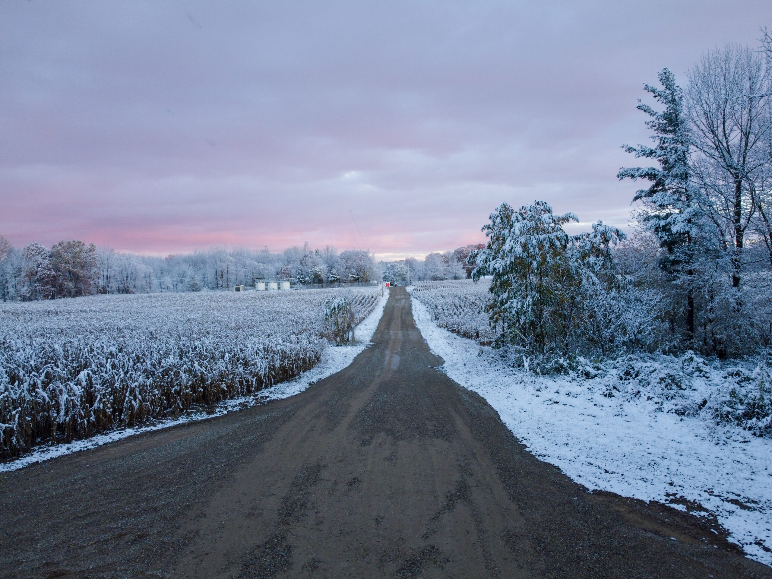
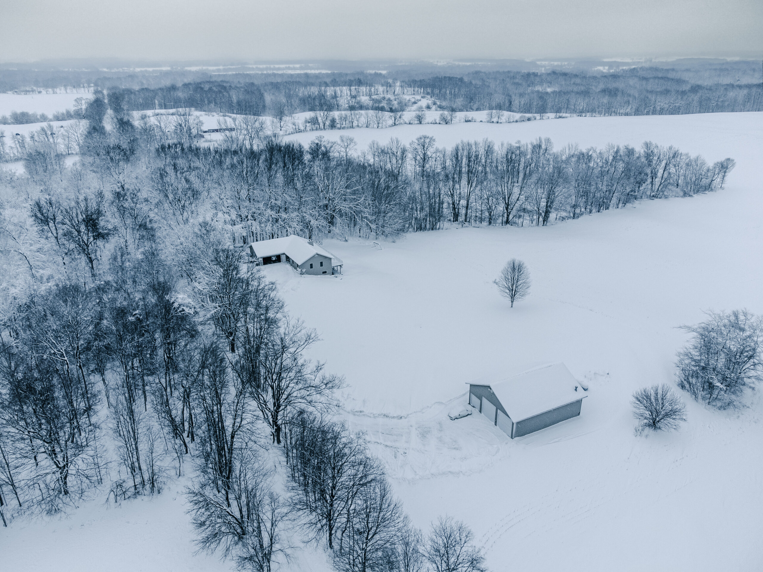
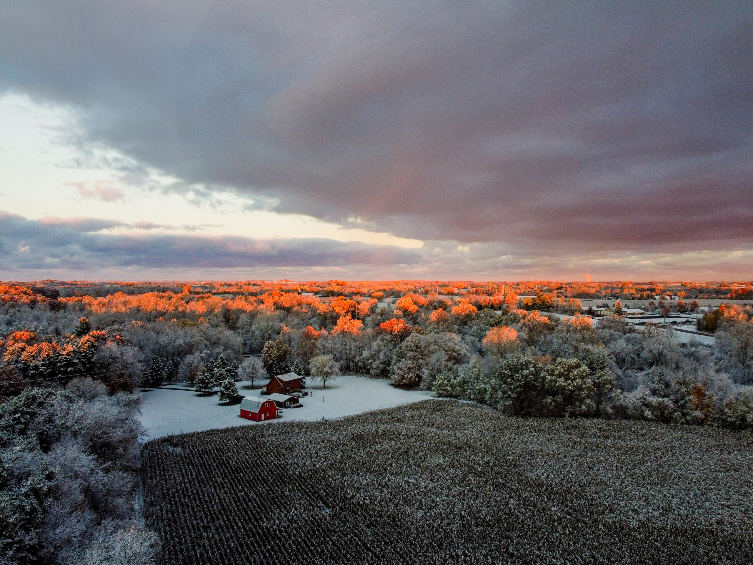
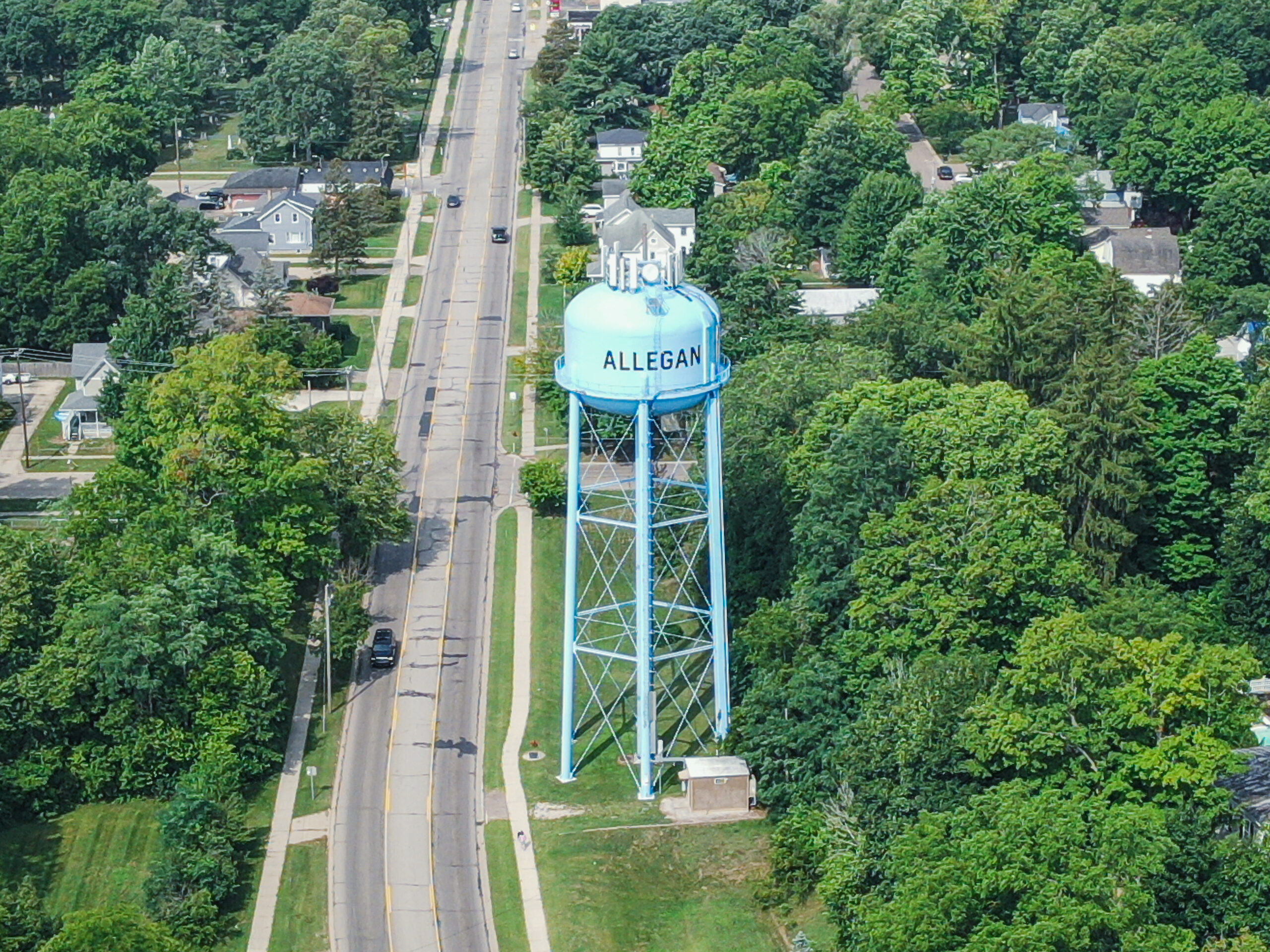
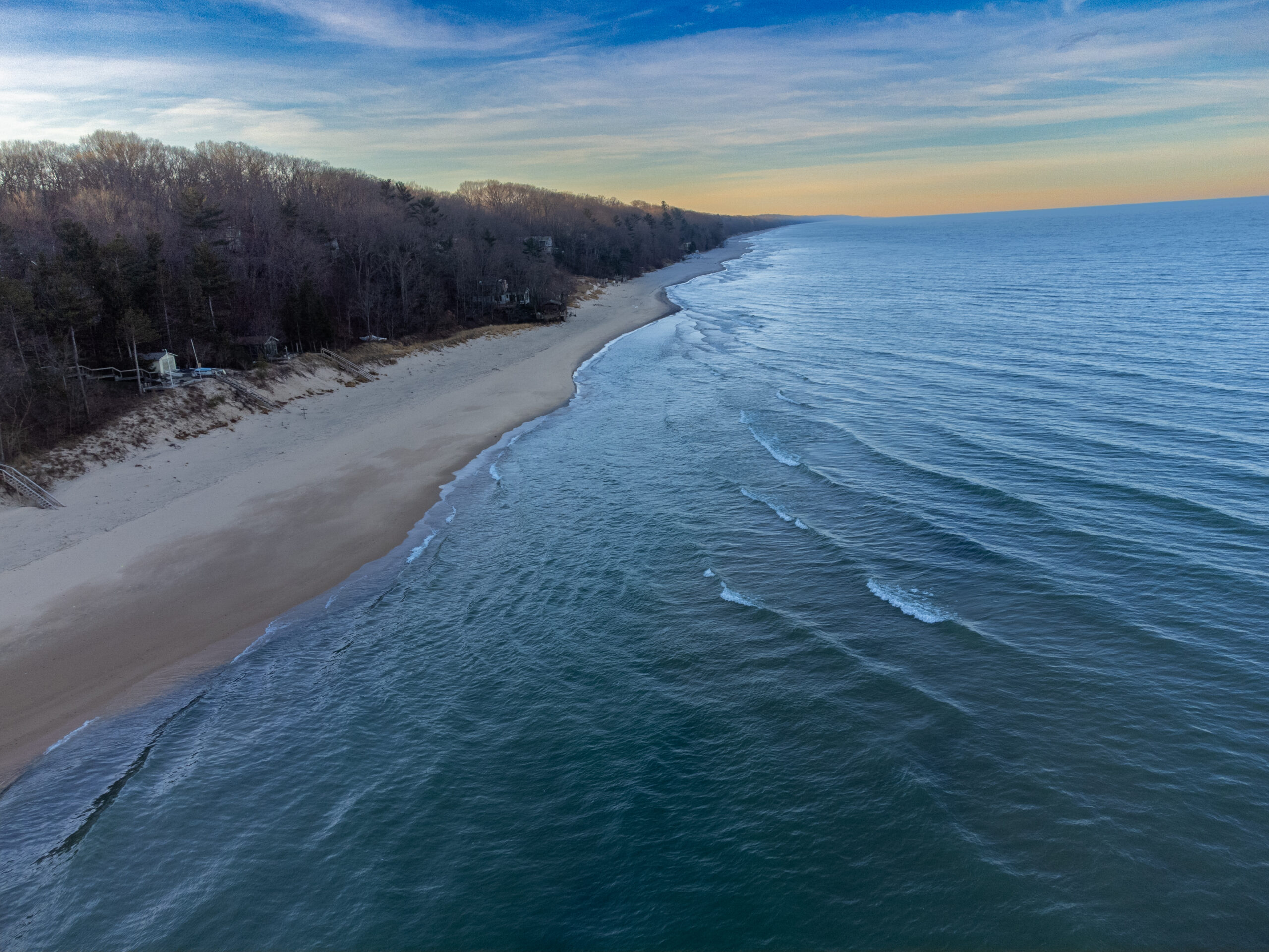
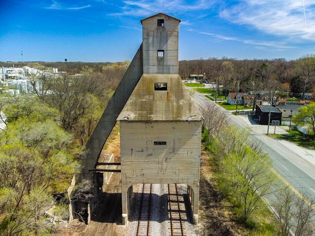
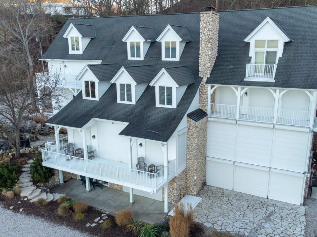
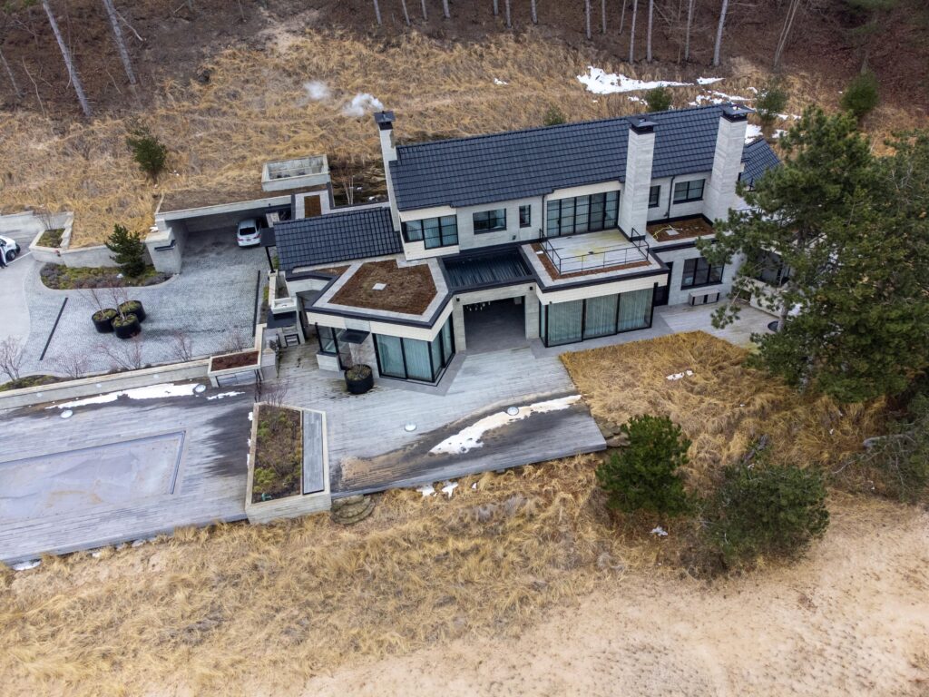
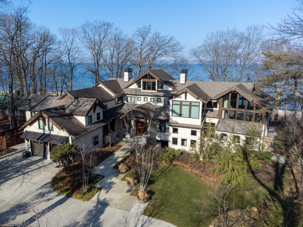
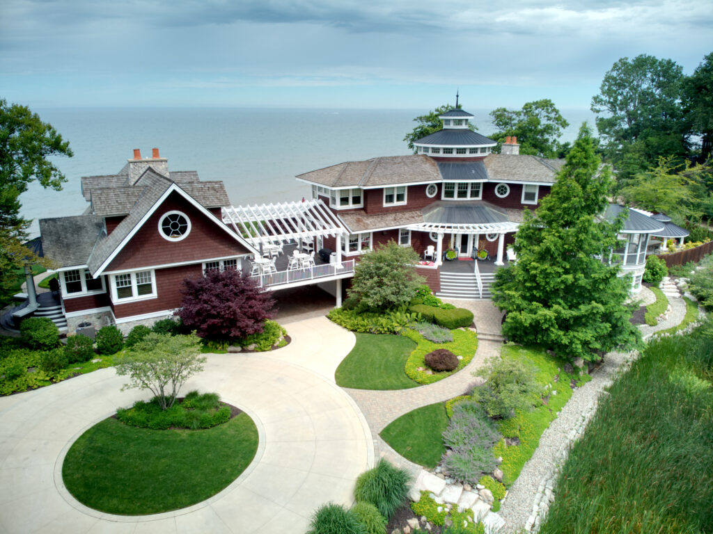
Aerial photography provides a unique and comprehensive perspective that cannot be achieved through ground-level photography. It offers a bird’s eye view of landscapes, properties, events, and more, allowing for detailed analysis, planning, and visualization. Whether used for real estate marketing, land surveying, environmental monitoring, or simply capturing stunning images from above, aerial photography adds value by providing a fresh and dynamic viewpoint.
Drone photography has become increasingly popular for a variety of reasons, one of the key benefits being its ability to capture stunning aerial shots that were once only possible with expensive equipment or from a helicopter.
Drones provide a unique perspective and allow photographers to showcase landscapes, architecture, and events in ways that were previously unattainable. This technology is particularly useful for real estate agents looking to showcase properties from above, event planners wanting to capture large gatherings, or even for filmmakers seeking dynamic shots for their projects.
Additionally, drones are cost-effective compared to traditional methods and offer greater flexibility in capturing images from different angles and heights. Overall, drone photography opens up a world of creative possibilities and is a valuable tool for professionals across various industries.
Photography Services Offered
Real Estate Photography
Residential Real Estate Pricing
Basic Package
$175 Per Project + Travel
- 5 High Quality Edited Images (Front, Top Down, High and Low Altitudes)
- 24 Hour Turnaround
- HDR Images, Light touch-ups and color correction made upon request.
Plus Package
$315 Per Project + Travel
- 15 High Quality Edited Images, (Front, Top Down, Cardinal Directions, High and Low Altitudes), or 5 High Quality Images and 4K Aerial Video Orbit or Fly-through of property
- 24 Hour Turnaround
- HDR Images, Light touch-ups and color correction made upon request.
Premium Package
$455 Per Project + Travel
- 15+ High Quality Edited Images, (Front, Top Down, Cardinal Directions, High and Low Altitudes)
- 4K Aerial Video Orbit and Fly-through of property
- 48 Hour Turnaround
- HDR Images, Light touch-ups and color correction made upon request.
Travel – Up to 30 miles from Allegan City Center included. +$1.55/mile as tracked by Google Maps
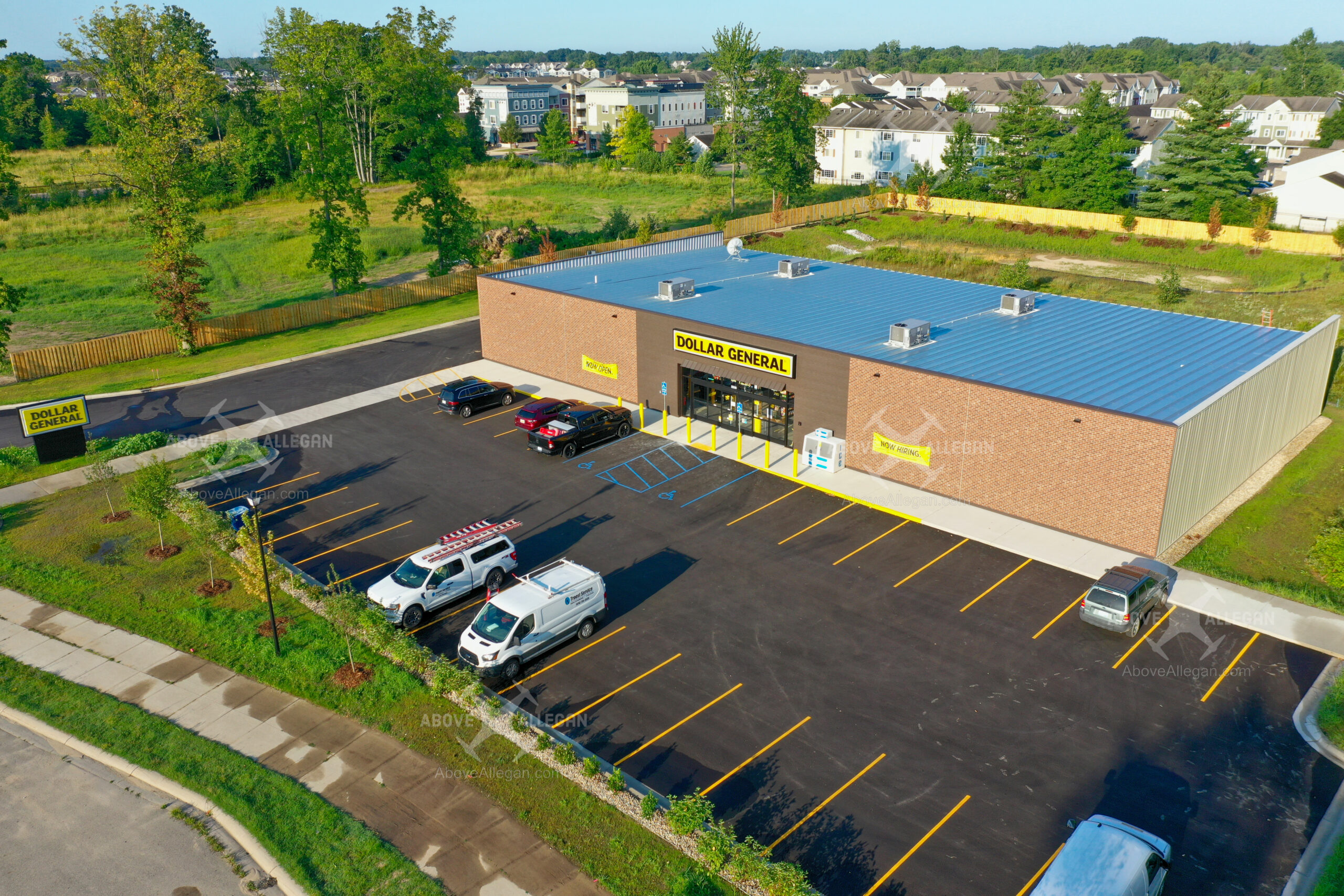
Commercial Real Estate Pricing
Basic Package
$425 + Travel
- 8 Cardinal Direction Photos @ Low Altitude (50-100ft)
- 8 Cardinal Direction Photos @ High Altitude (300-400ft)
- Additional Angles substituted as requested
- 48 Hour Turnaround
- HDR Images, Light touch-ups and color correction made upon request.
Premium Package
$785 + Travel
- Up to 8 High Quality Photos @ Low Altitude (50-100ft)
- Up to 8 High Quality Photos @ Medium Altitude (100-200ft)
- Up to 8 High Quality Photos @ High Altitude (300-400ft)
- Top Down & Elevated Front Facade
- Up to 10 Additional Angles as requested
- 4k Aerial Video, Simple Flyby or Orbital Raw Video Footage
- 48 Hour Turnaround
- HDR Images, Light touch-ups and color correction made upon request.
Travel – Up to 30 miles from Allegan City Center included. +$1.50 each additional mile.
Customized Packages
- High Quality Images, Raw or Edited
- 4k Aerial Video Clip Compilations, Optional Music and Branding (Music and Branding provided by Customer)
- 4k Aerial Raw Video Clips
- 72 Hour Turnaround

